 Catálogo de datos del IEO
Keyword
Océanos
6795 record(s)
Type of resources
Categories
Available actions
Topics
INSPIRE themes
Keywords
Contact for the resource
Provided by
Years
Formats
Status
Scale
-
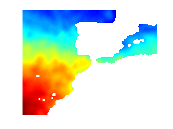
Climatología mensual de temperatura para la zona de Península Ibérica, Baleares e Islas canarias, con resolución espacial de 0.2º y 33 niveles verticales.
-
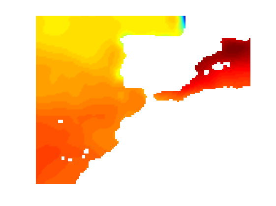
Climatología mensual de salinidad para la zona de Península Ibérica, Baleares e Islas canarias, con resolución espacial de 0.2º y 33 niveles verticales.
-
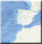
El Visor de información marina muestra información de la naturaleza del fondo, batimetría, límites de reservas, información ambiental, caladeros de pesca, arrecifes artificiales y límites administrativos, (a título informativo y sin validez legal).
-
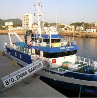
Acoustic fishing campaign for the evaluation of anchovy biomass, biological condition, hydrographic conditions and spatial distribution in the Bay of Biscay
-
Estimation of the annual abundance index of anchovy juveniles (Engraulis encrasicolus) and characterization of environmental conditions to predict the magnitude of recruitment for the following year.
-
Cartographic survey of the proposed work areas, together with seismic studies and sampling of the seabed.
-
Study and evaluation of the anchovy biomass in the Bay of Biscay within the National Sampling Plan
-
Monitoring of eutrophication. Water and phytoplankton samples were taken to study the phytochemical and biological characteristics of the water column.
-
Estimation by pelagic trawling and acoustic methods of the biomass index and population and biological parameters of anchovy (Engraulis enrasicolos) (and Sarina pilchardos sardine, as a secondary objective), to evaluate the state of the fisheries. In the pelagic trawling, the Daily Egg Production Method (MPDH) is applied as an estimate of the biomass. Study of the influence of the hydrographic variables of the water column (temperature, salinity and chlorophyll)
-
Obtain abundance indexes of lobster (Palinuros elephas) inside and outside the protected area of the Cala Ratjada Marine Reserve, carry out experimental plankton fisheries in order to obtain philosophical larvae of the different species of lobster present in the study area, and install and maintain lobster post-larval collectors in the coastal area (<25m) and deep (> 60m)