 Catálogo de datos del IEO
Keyword
Oceanographic geographical features
5702 record(s)
Type of resources
Categories
Available actions
Topics
INSPIRE themes
Keywords
Contact for the resource
Provided by
Years
Formats
Status
Scale
From
1
-
10
/
5702
-
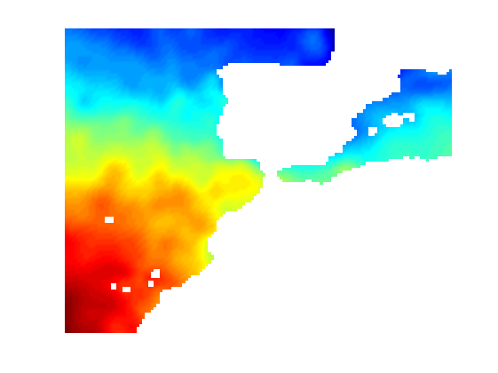
Climatología mensual de temperatura para la zona de Península Ibérica, Baleares e Islas canarias, con resolución espacial de 0.2º y 33 niveles verticales.
-
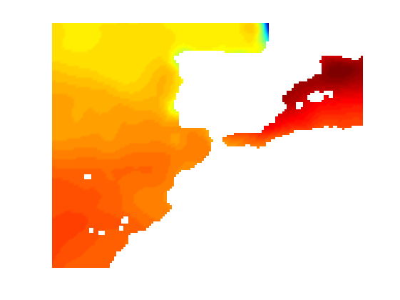
Climatología mensual de salinidad para la zona de Península Ibérica, Baleares e Islas canarias, con resolución espacial de 0.2º y 33 niveles verticales.
-

OCEANSAC
-
N/A
-
Mediterranean pelagic ecosystem study: analysis of plankton dynamics.
-
Characterization of Phytoplankton Blooms in Argentina platform
-
Physical oceanography and productivity of the confluence WEDDELL-SCOTIA: Spanish contribution to the international DOVETAIL project
-
Geologic and paleoceanographic evolution. South Atlantic and Antarctic basins and margins.
-
High-resolution seismic tomography of Deception Island
-
N/A