Keyword
thermosalinographs
434 record(s)
Type of resources
Categories
Topics
INSPIRE themes
Keywords
Contact for the resource
Provided by
Years
Formats
Status
-

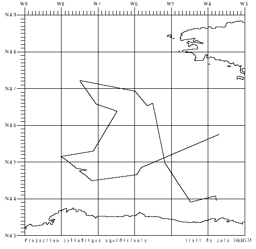
Participation in validating the CAROLS airborne L band radiometer, during flights on ATR42. CTD/LADCP stations performed on repeated sections around the Bay of Biscay and calibration of CTD tags intended for deployment on sea elephants. The related projects are CAROLS, SMOS (TOSCA/CNES and ESA), EPIGRAM (LEFE/IDAHO).
-
The series of PELMED cruises began in 1993. Their objective is to assess small pelagic resources in the Gulf of Lion, using the echo-integration method and trawling to identify the detections observed. Until 2007, each cruise consisted in systematically prospecting from Port-Vendres to Marseille, along 9 legs set 12 nautical miles apart, perpendicular to the coast, in daytime (6 am to 9 pm), along the entire width of the continental shelf. Acquisition along legs for acoustic prospection covered 440 nautical miles and the catches from trawling to identify the structures encountered led to a complete analysis: number and weight by species, size sampling, otolith samples taken in order to construct size-age keys for sardines, anchovies and hake, updating of biological parameters.
-
Small pelagic fish are both the keystone species of the ecosystem because of the central position they hold in the food chain and represent highly significant economic stakes for fisheries since they make up the majority of landings in the French Mediterranean (approximately 50% of catches for sardines and anchovies; Demaneche et al. 2009). So, to assess stocks and propose appropriate management methods, it is important to have both good knowledge about these species and independent fisheries data. Ifremer's fisheries science laboratory in Sète has monitored these populations since the 1990s. In 2002, the EU asked Member States to formalize certain operations by contract, in this context, the PELMED cruise was part of the extended contractual programme for biomass assessment (DCF). Therefore, each year France is obliged to assess the biomass of small pelagic species in the Mediterranean, in order to determine the stocks' status and propose management measures. These assessments are carried out in the framework of the general fisheries commission for the Mediterranean (CGPM). Since numerous countries had begun monitoring these species using acoustic methods, the MEDIAS (MEDIterannean Acoustic Surveys) scientific group was created in 2008 with the objective of standardizing the protocols. Finally, national management plans for Gulf of Lion fisheries were set up in 2014 (particularly for pelagic trawlers and purse seines) with scientific objectives touching on the biomass of small pelagics. The PELMED cruise, whose main aim is to directly assess the small pelagics biomass, is conducted therefore in a clearly institutional framework (national, European and Mediterranean). However, the scientific stakes remain just as important. Since 2008, a special situation has been observed in the Gulf of Lion, where the biomasses of sardines and anchovies (and even mackerel) have decreased synchronously. Even more unexpectedly, although the recruitment rates observed over the past few years in the species are particularly high, the populations don't seem to be growing back and their biomass is continuing to drop. This is particularly surprising in a marine ecosystem where recruitment is generally considered to be the determining factor of population dynamics for species with a short life span. The collection of biological parameters on species of small pelagics done during the previous PELMED cruises made it possible to highlight significant demographic changes (loss of large age classes, decrease in size, poorer body condition) which seem to suggest "bottom-up" population control. Therefore, the ecosystem-based nature of the PELMED cruises (from physical parameters to top predators, not to mention phyto- and zooplankton and fodder fish) appears to be crucial in understanding the dynamics of these populations. It was decided this year to stop prospecting the Catalan Sea, in order to extend the spatial coverage to the east of the Gulf in the PACA region (from Marseille to Nice). Since the narrowness of the shelf in this zone does not allow for prospecting along "classic" legs, the objective will be to validate a prospection method which is adapted to the area.
-
Optical (Rrs) and hydrological measurements to determine and quantify particles in suspension and dissolved organic matter at the surface of the water using satellite images. The measurements taken along the Basque country coast are used to validate the algorithms developed using data from the BATEL-1 mission. An additional objective is to supply in-situ optical and hydrological data for the doctoral theses of C. Petus and S.Novoa. The oceanographic mission took place in 2 parts due to a mechanical incident aboard RV Côte de la Manche. The cruise falls under the inter-régional Aquitaine-Euskadi (OOSSEA) programme, CIFRE contract.
-

-Validation of surface salinity measurements using drifting buoys. Three models of drifting buoys (17 buoys in all) were deployed in the Bay of Biscay on 2 April (R/V Thalassa trip) and on 2-3 May (COSMOS1 aboard Côtes de la Manche). This involved passing close to the buoys, taking samples, TSG measurements and CTD hauls to validate the data. Two sections taken by CTD probe in front structure eddy (for the CONGAS programme). Retrieval of a prototype PROVOR-CTS3 float deployed in May by the Côte d'Aquitaine vessel. 9 CTD sensors to be attached to elephant seals were tested (mounted on SBE25 CTD during profiles). This falls under the COSMOS project, headed by J. Boutin and G. Reverdin.
-

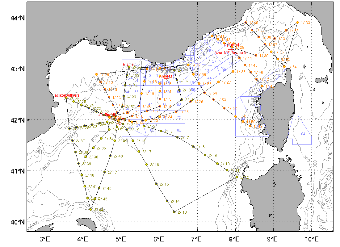
The main objective of the MOOSE-GE cruises is to observe the annual evolution of the Northwestern Mediterranean Sea in the context of the climate change and anthropogenic pressure in order to be able to detect and identify long-term environmental trend and anomalies of the marine ecosystem. The annual cruise focuses on moorings maintenance and hydrology, biogeochemistry and biology monitoring of the Northwestern Mediterranean basin. It aims to follow variability of water masses properties (LIW and WMDW) and biogeochemical and biological content related to these water masses. BILLION 32 cruise was part of this cruise too.
-
The main objective of the MOOSE-GE cruises is to observe the annual evolution of the Northwestern Mediterranean Sea in the context of the climate change and anthropogenic pressure in order to be able to detect and identify long-term environmental trend and anomalies of the marine ecosystem. The annual cruise focuses on moorings maintenance and hydrology, biogeochemistry and biology monitoring of the Northwestern Mediterranean basin. It aims to follow variability of water masses properties (LIW and WMDW) and biogeochemical and biological content related to these water masses. BILLION 36 cruise was part of this cruise too.
-
Retrieving an array of moored current meters recording subtidal circulation on the ocean margins of the Bay of Biscay (Armorican and Aquitaine shelves and slopes). Related hydrological measurements taken. This falls under the ASPEX project.
-

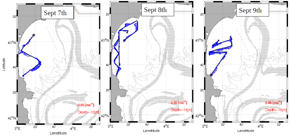
Understanding the role played by the combined physical-biogeochemical dynamics at (sub)-mesoscales in exchanges of matter and energy between coastal and open sea areas. The LATEX strategy is based on selective and combined use of numerical modelling and in situ observations (Lagrangian floats, SF6, shipboard ADCPs, ADCP moorings, satellite images, gliders and coastal radars). The main objective of LATEX is to study the impact of an eddy structure at (sub)mesoscale, which is chronically present in the western part of the Gulf of Lion, in interaction with the North Mediterranean current(NMC)on trends in the distribution of conservative tracers and biogeochemical properties. Thanks to this strategy, LATEX should provide answers to the following questions: - Is this type of structure likely to significantly affect the horizontal transfer of matter between the continental shelf and the NMC? - What are the consequences for biogeochemical cycles of the structure's interaction with the NMC? - How do CO2 concentrations evolve within the eddy throughout its life cycle? - How does this type of (sub)-mesoscale coastal eddy act in structuring of plankton communities and the variability in primary production observed in the study zone? - Are the amounts of matter transferred by (sub)-mesoscale structures significant with respect to that displaced by the general circulation on seasonal and annual scales? The related project is called LATEX (LAgrangian Transport Experiment).
-
NA
 Catálogo de datos del IEO