 Catálogo de datos del IEO
Contact for the resource
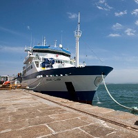
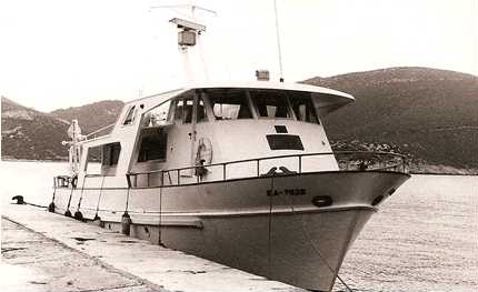
IEO/ Balearic Islands Oceanographic Centre
177 record(s)
Type of resources
Categories
Topics
INSPIRE themes
Keywords
Contact for the resource
Provided by
Years
Formats
Status
-
Estimation by acoustical methods stock biomass of anchovy (Engraulis encrasicolus) and sardine (Sardina pilchardus) Spanish Mediterranean.
-
Estimation by acoustical methods stock biomass of anchovy (Engraulis encrasicolus) and sardine (Sardina pilchardus) Spanish Mediterranean.
-

Influence of oceanographic structure and dinamics on DEmersal populations in waters of the BAlearic Islands
-
Instalación y revisión de líneas de fondeo de instrumentaión oceanográfica.
-

CR Tunibal
-
Cr ROMB-3 Ref B2945791.978 ICES created form
-
Cr ROMB-4 ref B2945792.979
-
Cr. MAHON-IV ref. B2945804.976 ICES created form
-
Cr OBM-II ref B2945796.975 ICES created form
-
LA FINALIDAD GLOBAL ES LA ELABORACION DE UN PROCESO EVOLUTIVO DE PLATAFORMA CONTINENTAL, DE CLIMA TEMPLADO Y DE CARACTER CARBONATADO, APLICABLE A OTROS DOMINIOS SEMEJANTES, ASI COMO A LA INTERPRETACION DEL REGISTRO FOSIL Y SU EVIDENTE REPERCUSION EN EL CAMPO DE LA GEOLOGIA APLICADA. PARA CONSEGUIR UN MODELO DE ESTAS CARACTERISTICAS, SE DEBEN SOLVENTAR DOS ASPECTOS BASICOS: 1.- PROCESOS Y FACTORES DE PRODUCION 2.- PROCESOS Y FACTORES DE ACUMULACION ESTE TIPO DE ESTUDIO MUESTA UN INTERES EXCEPCIONAL DEBIDO A LA ESCASEZ DE TRABAJOS SOBRE EL TEMA. DEBE REMARCARSE, ASI MISMO, EL ESPECIAL INTERES QUE PRESENTA LA CUENCA MEDITERRANEA BAJO MUY DIFERENTES ASPECTOS OCEANOGRAFICOS ENMARCADOS EN LAS VARIACIONES QUE PRESENTA EN CUANTO A COMPOSICION DINAMICA, SEDIMENTACION Y EVOLUCION.