 Catálogo de datos del IEO
Keyword
bathythermographs
49 record(s)
Type of resources
Categories
Topics
INSPIRE themes
Keywords
Contact for the resource
Provided by
Years
Formats
Status
-
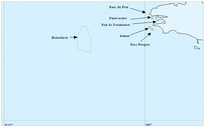
Beautemps-Beaupré cruise.
-
Beautemps-Beaupré cruise.
-
Assessment of small pelagic species resources in the Gulf of Lion using echointegration and trawl hauls to identify the observed echoes. This fell under the SIDEPECHE project.
-
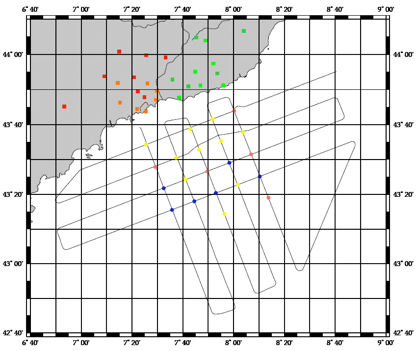
Assessment of small pelagic species resources in the Gulf of Lion using echo-integration and trawl hauls to identify the observed echoes. This falls under the SIDEPECHE project.
-
Assessment of small pelagic species resources in the Gulf of Lion using echo-integration and trawl hauls to identify the observed echoes. This is related to the SIDEPECHE programme.
-
Beautemps-Beaupré cruise.
-
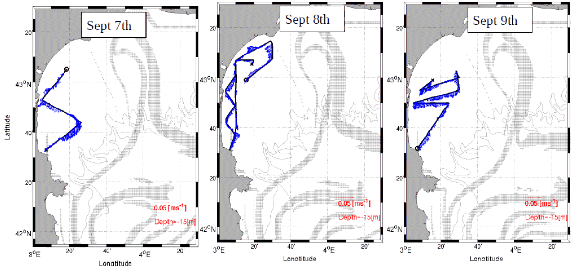
Understanding the role played by the combined physical-biogeochemical dynamics at (sub)-mesoscales in exchanges of matter and energy between coastal and open sea areas. The LATEX strategy is based on selective and combined use of numerical modelling and in situ observations (Lagrangian floats, SF6, shipboard ADCPs, ADCP moorings, satellite images, gliders and coastal radars). The main objective of LATEX is to study the impact of an eddy structure at (sub)mesoscale, which is chronically present in the western part of the Gulf of Lion, in interaction with the North Mediterranean current(NMC)on trends in the distribution of conservative tracers and biogeochemical properties. Thanks to this strategy, LATEX should provide answers to the following questions: - Is this type of structure likely to significantly affect the horizontal transfer of matter between the continental shelf and the NMC? - What are the consequences for biogeochemical cycles of the structure's interaction with the NMC? - How do CO2 concentrations evolve within the eddy throughout its life cycle? - How does this type of (sub)-mesoscale coastal eddy act in structuring of plankton communities and the variability in primary production observed in the study zone? - Are the amounts of matter transferred by (sub)-mesoscale structures significant with respect to that displaced by the general circulation on seasonal and annual scales? The related project is called LATEX (LAgrangian Transport Experiment).
-
Technological trials run on seismic equipment developed by the SERCEL firm.
-

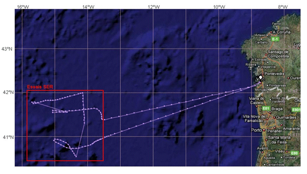
<p>Technical trials for NAUTILE, SYSIF, SMF RESON, GAPS and MATS equipment. The trials cruise had 2 legs: Leg 1 from 04/05/09 to 15/05/09 (Brest - La Coruna) and Leg 2 from 16/05/09 to 19/05/09 (La Coruna - Funchal).</p>
-

The objective of the NUREIEVA-3D campaign is the acquisition of a high-resolution 3D seismic cube of the submarine extension of the Portmán Bay mining spill deposit, in the vicinity of Cartagena, Murcia province, in order to establish the geometry and three-dimensional internal structure of said reservoir. To carry out the campaign, it will be necessary to install, test and deploy from the ship a complete 3D seismic system that will be provided by the subcontracted company GeoSurveys