 Catálogo de datos del IEO
Keyword
sediment grabs
43 record(s)
Type of resources
Categories
Topics
INSPIRE themes
Keywords
Contact for the resource
Provided by
Years
Formats
Status
-
Characterization of the Quaternary and Neogene sedimentary cover of the NW Atlantic shelf zone off Morocco and Quaternary deformations. This falls under the ANR ISIS project.
-
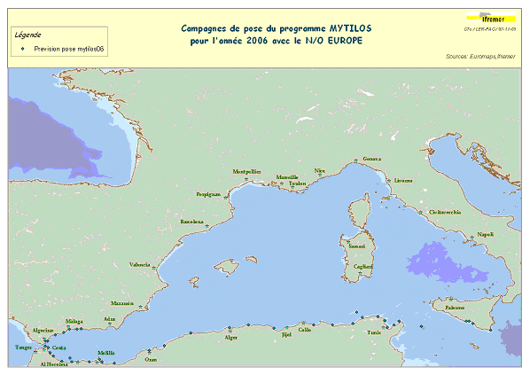
Assessment of chemical contamination in coastal water masses (Spain, Morocco, Tunisia, Sicily canal), using artificial stations of mussels. The MYTILOS1 cruise aimed to utilize the RINBIO network methodology around the western Mediterranean, in the northern part of the NW Basin. Experiments run in the French Mediterranean since 1996 by IFREMER were to be extended to Southern Mediterranean coasts, i.e. Spanish, Moroccan, Algerian and Tunisian coasts, as well as the Sicily Canal in Italy, on the basis of a standardized protocol. The data from MYTILOS2 cruise will supplement those obtained in 2004 and 2005 during the RINBIOC1 and MYTILOS1 cruises by including the coasts of North Africa, Southern Spain and the island of Pantelleria. In addition, the results will be used to complement the chemical contamination budget drawn up in the framework of the European Water Framework Directive's implementation. This falls under the 'MEDICIS' project.
-
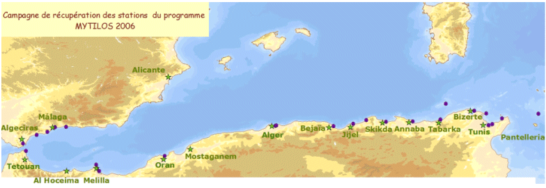
Assessment of chemical contamination in coastal water masses (Spain, Morocco, Tunisia, Sicily canal), using artificial stations of mussels. The MYTILOS1 cruise aimed to utilize the RINBIO network methodology around the western Mediterranean, in the northern part of the NW Basin. Experiments run in the French Mediterranean since 1996 by IFREMER were to be extended to Southern Mediterranean coasts, i.e. Spanish, Moroccan, Algerian and Tunisian coasts, as well as the Sicily Canal in Italy, on the basis of a standardized protocol. The data from MYTILOS2 cruise will supplement those obtained in 2004 and 2005 during the RINBIOC1 and MYTILOS1 cruises by including the coasts of North Africa, Southern Spain and the island of Pantelleria. In addition, the results will be used to complement the chemical contamination budget drawn up in the framework of the European Water Framework Directive's implementation. The survey was based on 2 major actions: 1) Artificial mussel stations were placed and recovered along a shoreline between Malaga (Spain) and Sicily (Italy), including Morocco, Algeria and Tunisia. 2) Sediment samples in addition to mussels samples were taken upon the partners' request. This falls under the MEDICIS project.
-
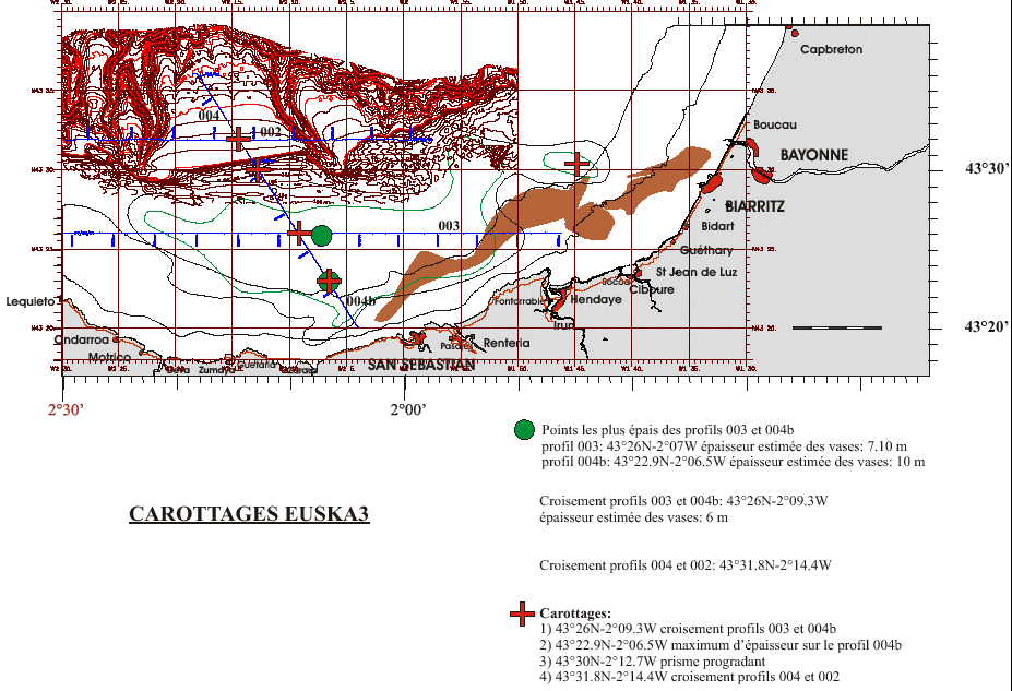
Core sampling on the mudflat of the Basque continental shelf. This falls under the Aquitaine / Euskadi project.
-
Abundance indices, distribution patterns and faunal assemblages of demersal species in the Porcupine bank, together with the possible driving factors of their distributio
-
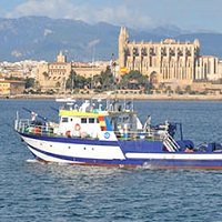
Habitat mapping and geomorphological description of Menorca Island East shelf.
-
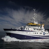
Development of underwater photogrammetry system for Marine Renewable Energy
-
Mantenimiento de los colectoresprofundos de langosta, obtención de larvas filosomas y muestreo con dragas en maerl.
-
1.Prospeción baatimétrica y geofísica utilizando técnicas de ecosonda multihaz y sísmica de muy alta resolución paara llevar a cabo un estudio morfológico y estratigráfico detallado de la zona de estudio. 2.Muestreos de sedimento mediante draga box-corer para conocer las características texturales del sedimento y el bentos en estos fondos marinos. 3.Se efectúan pruebas de un sensor de sedimentos (LISST-ABS) acoplado al CTD SB25.
-
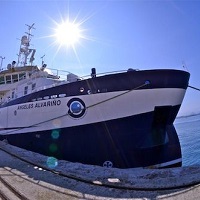
Identification and mapping of habitats. Characterization of benthic communities through the acquisition of underwater images, bathymetric data of the bottom and of the surface structure, and sampling with rock dredge, van veen and shipek. Identificación y cartografía de hábitats. Caracterización de comunidades bentónicas mediante la adquisición de imágenes submarinas, datos batimétricos de la superficie del fondo y de la estructura superficial, y muestreos con draga de roca, van veen y shipek.