Keyword
sediment dredges
76 record(s)
Type of resources
Categories
Topics
INSPIRE themes
Keywords
Contact for the resource
Provided by
Years
Formats
Status
-
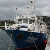
The aim of this cruise was to collect surficial sediments from different areas of the Mediterranean Spanish coast for studying the spatial and temporal trends of persistent organic pollutants (organochlorinted pollutants, trace metals and aromatic hydrocarbons) and metal contamination in this environmental matrix. This cruise was included in the activities of the project 2-ESMARME from the IEO (Spanish Oceanographic Institute). This project gives fulfillment to the Annex II of the mission of management of the Ministry of Environment and Rural and Marine Affairs to the IEO on scientific and technical assistance related to the monitoring of the marine contamination and biological effects in the Mediterranean coast of Spain, within the framework of the Barcelona Convention for the protection of the marine environment and the coastal Region of the Mediterranean Sea.
-
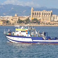
_El objetivo general es la vigilancia medioambiental de la zona afectada por el dragado del puerto de Maó, mediante el seguimiento de variaciones en la granulometría, del contenido de carbono orgánico y contaminantes metálicos y orgánicos, en esa zona.
-

Swath bathymetry, high definition seismic reflection and habitat mapping of the insular shelf of Menorca.
-
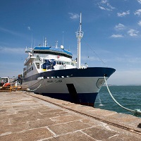
GEOLOGY PROSPECTION OF THE SEA FLOOR
-

Get abundance indices of groundfish demersales species. Get the size structure of commercially exploited stocks. Collection of biological material. Prospecting deep zones.Get physical-chemical parameters of water in the study area. Sampling using a box-corer to obtain granulometrics indices of sediment and biological sampling of infauna.
-
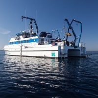
The completion of the dredging of the commercial area of the port of Mahon and disposal of these sediments and dredged materials in an area close to the port, a benchmark that area is needed before the completion of the discharge. The MAO DRAGAT project includes activities to be developed for this purpose. The hydrodynamic characterization and sampling of contaminants in the water column and sediment discharge area is one of the objectives of this project. MAHON 0114 The campaign is designed to perform this characterization by a network of hydrographic stations, ADCP Doppler and sampling in the water column and sediments.
-

GEOLOGY PROSPECTION OF THE SEA FLOOR. PERFORM HIDROGRAPHIC SURVEYS, CONDUCT OF GEOPHYSICAL EXPLORER, IMAGING DEEP SEA, CHARTING MAPPED FISHING AREA OF DE ZEE SPANISH WATERS.
-

GEOLOGY PROSPECTION OF THE SEA FLOOR. PERFORM HIDROGRAPHIC SURVEYS, CONDUCT OF GEOPHYSICAL EXPLORER, IMAGING DEEP SEA, CHARTING MAPPED FISHING AREA OF DE ZEE SPANISH WATERS.
-
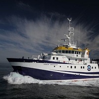
During the ABRIC-3 cruise, the acquisition of high resolution bathymetries of the fishing grounds in Blanes and Palamós submarine canyons have been carried out using the ship hull multibeamm echosounder. Sediment cores have been obtained to determine the rates of sedimentation in the axes of the canyons. TOPAS seismic profiles were also collected crossing the canyon rims and flanks..
-
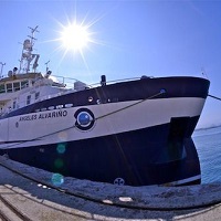
1. To obtain estimates of Nephrops burrows densities in the Gulf of Cádiz from a randomized isometric grid of UWTV stations spacing 4 nautical miles using the underwater images. 2. To define the Nephrops distribution in the Gulf of Cádiz 3. To obtain density estimates of bentho-demersal macrofauna species 4. To calibrate bentho-demersal macrofauna observed in the underwater videos and those obtained in the beam trawl. 5. To obtain and the occurrence of trawl marks on the sea bed 6. To measure oceanographic variables using a sledge mounted CTD 7. To collect sediment samples 8. To prospect circalittoral and bathyal areas without trawling activity 9. Sea bed morphological and backscatter analyses
 Catálogo de datos del IEO