Keyword
Sound velocity and travel time in the water column
81 record(s)
Type of resources
Categories
Topics
INSPIRE themes
Keywords
Contact for the resource
Provided by
Years
Formats
Status
-
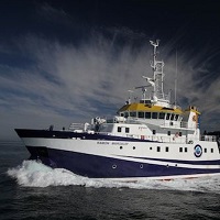
In this cruise the mooring lines deployed in April 2012 have been recovered. In addition communication between acoustic receivers and a deck unit has been tested. This is part of the international program OTN ("Ocean Tracking Network," in Spanish "Red de Seguimiento Oceánico"). This work is preparatory for the deployment of a curtain listening across the Strait of Gibraltar.
-
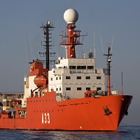
Study of the edge of Spanish Platform on the Canary Islands Basin.
-
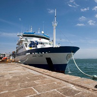
GEOLOGY PROSPECTION OF THE SEA FLOOR. PERFORM HIDROGRAPHIC SURVEYS, CONDUCT OF GEOPHYSICAL EXPLORER, IMAGING DEEP SEA, CHARTING MAPPED FISHING AREA OF DE ZEE SPANISH WATERS.
-

GEOLOGY PROSPECTION OF THE SEA FLOOR. PERFORM HIDROGRAPHIC SURVEYS, CONDUCT OF GEOPHYSICAL EXPLORER, IMAGING DEEP SEA, CHARTING MAPPED FISHING AREA OF DE ZEE SPANISH WATERS.
-

Monitoring the conservation status of vulnerable ecosystems of the MPA of “El Cachucho”, including identification and mapping of habitats and characterization of benthic communities
-

Hydrograpich survey. Antartctic cruise CTM2009-06256-E CTM2009-08287-E
-
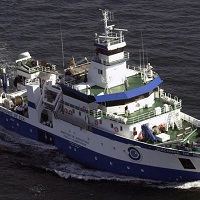
They focus on the seabed research of Mediterranean sea (Spain ), both indirect and direct. Carry out a survey of the fishing beaches to later elaborate fishing charts. Systematic bathymetric survey of the study areas with 100% coating (Multi-beam echo sounder EM-300). seismic profiles according to the ship's defeat (Topas 710 system). Performance of sound velocity profiles in the water column. Side sweep sonar in selected areas. Sediment sampling (Shipeck dredges - Box corer). Sampling of Rocky Outcrops (Rock Dredge).
-

GEOLOGY PROSPECTION OF THE SEA FLOOR. PERFORM HIDROGRAPHIC SURVEYS, CONDUCT OF GEOPHYSICAL EXPLORER, IMAGING DEEP SEA, CHARTING MAPPED FISHING AREA OF DE ZEE SPANISH WATERS.
-
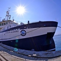
The campaign targets under INFUECO 1113, to carry on board the research vessel Angeles Alvariño, are the identification and mapping of habitats and characterization of biogenic benthic and demersal species. Specific objectives focus on the investigation of benthic Banks areas of 'Amanay' and 'El Banquete' by direct and visual methods. Specifically: · Extensive visual videogrammetry HD with sled towed "NEXUS". · Recognition with multibeam bathymetric probe.
-

Calibration of Multi-beam echo sounder( EM-300 ) and single channel seismic reflection (TOPAS).
 Catálogo de datos del IEO