 Catálogo de datos del IEO
Keyword
optical microscopes
122 record(s)
Type of resources
Categories
Topics
INSPIRE themes
Keywords
Contact for the resource
Provided by
Years
Formats
Status
-
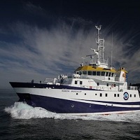
Analisys of Dinophysis acuminata phytoplankton presence over the Galician west coast.
-
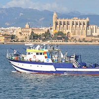
Mantenimiento de los colectoresprofundos de langosta, obtención de larvas filosomas y muestreo con dragas en maerl.
-
Mantenimiento de los colectoresprofundos de langosta, obtención de larvas filosomas y filmaciones submarinas con video cebado.
-
1.El objetivo principal es aumentar la resolución de la cartografía bionómica realizada con los datos de la campaña anterior (DRAGONSAL_0712), con especial énfasis en la delimitación de los fondos de maerl. 2.Validar los resultados de reflectividad del fondo. 3.Evaluar las diferencias en densidad y composición faunística y florística en hábitats de Peyssonnelia identificados en la campaña precedente y situados en dos zonas cercanas sometidas a distinta actividad pesquera de arrastre (zona impactada/zona no impactada). 4.Determinar la fuente de los nutrientes (natural o antropogénica) que favorece la elevada densidad de macroalgas rojas.
-
Analyze and evaluate the environmental impact on the coastal area of Gibraltar caused by the dumping of concrete and rock blocks into the sea.
-
Set up techniques of circalittoral benthic habitat study of sedimentary seabeds, including identification and cartography of habitat and characterization of benthic communities, aiming to develop MSFD indicators.
-
To estimate the spawning stock biomass of european anchovy (Engraulis encrasicolus) in the Bay of Biscay in spring.
-
To estimate the spawning stock biomass of european anchovy (Engraulis encrasicolus) in the Bay of Biscay in spring.
-
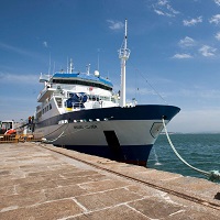
The campaign targets under INFUECO 1112, to carry on board the research vessel Angeles Alvariño, are the identification and mapping of habitats and characterization of biogenic benthic and demersal species. Specific objectives focus on the investigation of benthic Banks areas of 'Amanay' and 'El Banquete' by direct and visual methods. Specifically: · Extensive visual videogrammetry HD with sled towed "APHIA 2012". · Study epibenthic fauna through the use of beam trawl, to capture sessile and reduced mobility fauna in shallow soft bottoms and rock, and rock dredge for qualitative sampling of wildlife sessile hard bottom fauna. · Recognition with multibeam bathymetric and TOPAS parametric probe.
-
Impact fisheries studies