Keyword
Sediment grain size parameters
89 record(s)
Type of resources
Categories
Topics
INSPIRE themes
Keywords
Contact for the resource
Provided by
Years
Formats
Status
-
Salt deformation and sub-salt fluid circulation in the Algero-Balearic abyssal plain(SALTFLU): 1) To identify the three dimensional structure of the salt deformation structures of the Algero-Balearic abyssal plain;2) to collect evidence of fluid migration, accumulation and extrusion at the seafloor; 3) to constrain the link between the observed overburden fluid circulation and deep (sub-salt) origins; 4) to link the fluid circulation pattern to the recent basin evolution with special regard to the tectonic stress propagation derived from convergence between the Africa and European plates.
-
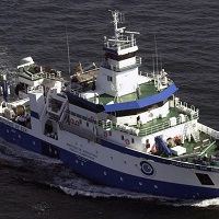
Abundance indices, distribution patterns and faunal assemblages of demersal species in the Porcupine bank, together with the possible driving factors of their distributio
-
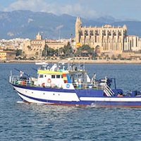
_El objetivo general es la vigilancia medioambiental de la zona afectada por el dragado del puerto de Maó, mediante el seguimiento de variaciones en la granulometría, del contenido de carbono orgánico y contaminantes metálicos y orgánicos, en esa zona.
-
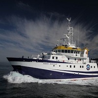
During the ABRIC-3 cruise, the acquisition of high resolution bathymetries of the fishing grounds in Blanes and Palamós submarine canyons have been carried out using the ship hull multibeamm echosounder. Sediment cores have been obtained to determine the rates of sedimentation in the axes of the canyons. TOPAS seismic profiles were also collected crossing the canyon rims and flanks..
-
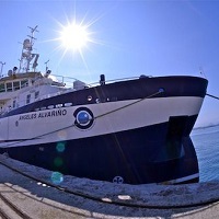
1. To test the sledge TST- HORUS and the methodology based on the identification and quantification of Nephrops burrows in order to estimate the Nephrops abundance using underwater images. 2. To obtain estimates of Nephrops borrows density 3. To obtain estimates of macro benthos density 4. To collect ancillary information on the occurence of trawl marks on sea bed 5. To collect sediment samples 6. To collect biological data on infauna 7. To obtain oceanographic data using a sledge mounted CTD
-

OBJECTIVES: - Acquisition of underwater videos with TRISION photogrammetric sled. - Obtain density estimates of Norway lobster burrows from underwater images. - Obtain density estimates of species of the megafauna and benthic and demersal macrofauna present in the Norway lobster fishing grounds from underwater images. - Gather complementary information on the action of trawling gear on the bottom and garbage. - Oceanographic data collection. - Taking sediment samples.
-

Habitat mapping and geomorphological description of Menorca Island East shelf.
-

MAO1407 Second survey of Mahón continental shelf. Before the dradge action of Mahón harbour a first survey using multibeam echosounder was conducted in january 2014 in order to the map the benthic habitats that could be affected. In this new survey the aim is to determinate the extension and impact that dradge debries has caused in the seabed using geophisical techniques. Multibeam echosounder and parametric subottom profailer had been used in the area. Data gatered will show the extend and thickness of dradge debries.
-

1. To obtain estimates of Nephrops burrows densities in the Gulf of Cádiz from a randomized isometric grid of UWTV stations spacing 4 nautical miles using the underwater images. 2. To define the Nephrops distribution in the Gulf of Cádiz 3. To obtain density estimates of megafauna species and the occurrence of trawl marks on the sea bed 4. To measure oceanographic variables using a sledge mounted CTD 5. To prospect circalittoral and bathyal areas witihout trawling activity 6. Sea bed morphological and backscatter analyses
-
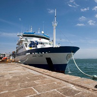
Get abundance indices of groundfish demersales species. Get the size structure of commercially exploited stocks. Collection of biological material. Prospecting deep zones.Get physical-chemical parameters of water in the study area. Sampling using a box-corer to obtain granulometrics indices of sediment, contaminant and biological sampling of infauna.
 Catálogo de datos del IEO