 Catálogo de datos del IEO
Keyword
Seas
18 record(s)
Type of resources
Available actions
INSPIRE themes
Provided by
Years
Formats
Status
-
El mareógrafo de Vigo está actualmente ubicado en la zona del puerto pesquero de Vigo y realiza medidas de nivel del mar desde 1943.
-
El mareógrafo de Pasajes realizó medidas de nivel del mar desde 1948 a 1963.
-
El mareógrafo de Algeciras estaba situado en la zona portuaria registranso datos del nivel del mar desde 1943 a 2002. Esta estación fue reemplazada por otra (PSMSL ID 2117) recogiendo datos desde 2006 en adelante.
-
El mareográfo de Puerto de la Luz (Las Palmas de Gran Canaria) está lozalizado en el dique Reina Sofía y registra el nivel del mar desde 1949.
-
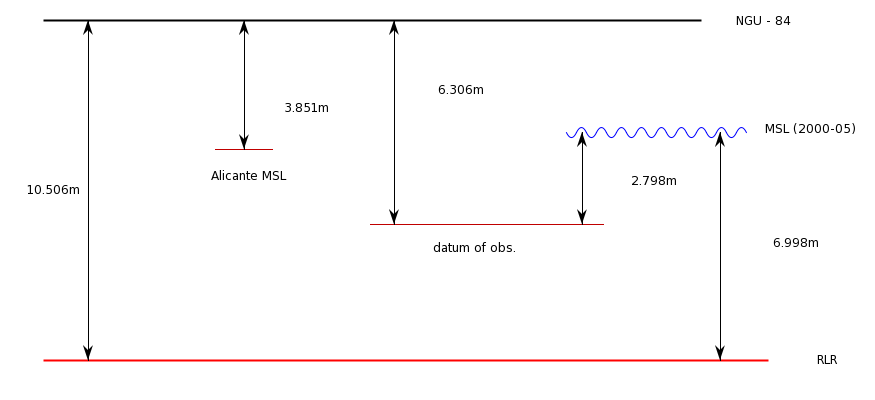
El mareógrafo de Palma de Mallorca se halla ubicado actualmente en el dique del Oeste de Palma. Data del año 1997. Otra estación cercana en el mismo puerto (PSMSL ID 1087) estuvo recogiendo datos de 1964 a 1966.
-
El mareógrafo de Palma de Mallorca se ubicó en la parte este del puerto de Palma, recogiendo datos de 1964 a 1966. Otra estación (PSMSL ID 1892) recoge datos desde 1997 en una localización diferente.
-
El mareógrafo de Ceuta se encuentra en la zona portuaria. Data del año 1944.
-
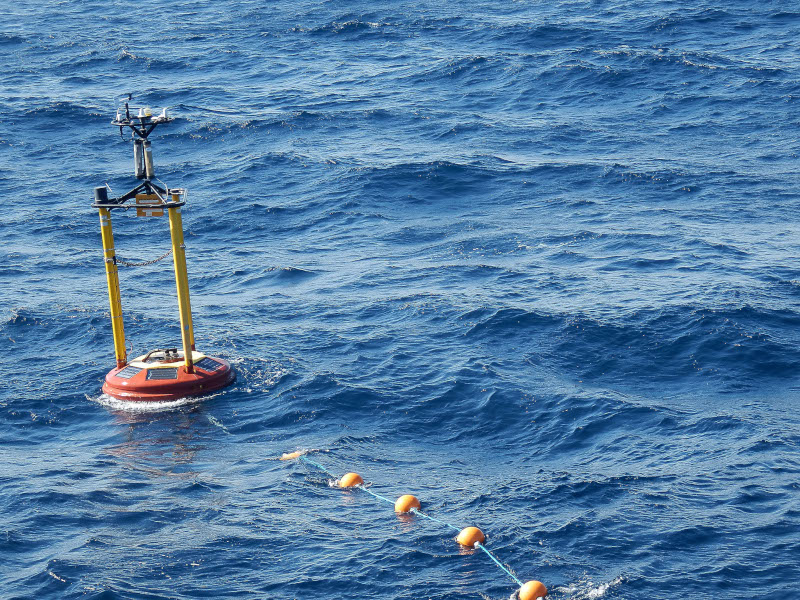
Esta boya fue fondeada el 27 de Junio de 2007 a 22 millas al norte de Cabo Mayor (Santander) en la posición 43º 50.67' N, 03º 46.2' O y a una profundidad de 2850m.
-
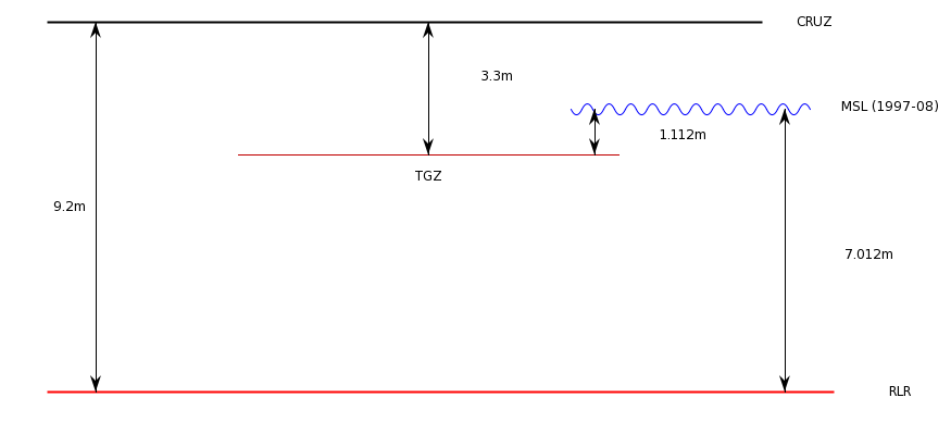
El mareógrafo de Santader opera desde 1943.
-
El mareógrafo de Tarifa se encuentra en la zona portuaria. Data del año 1943.